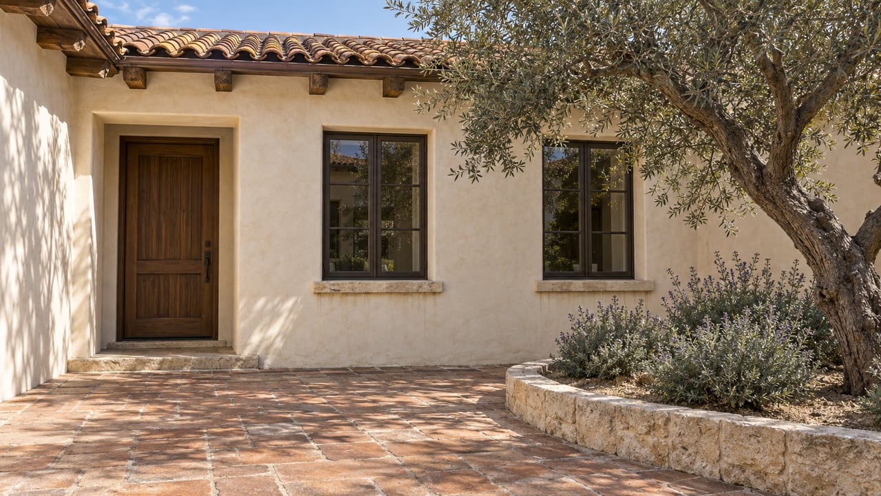
The coastal sage scrub and bunchgrass north of Black Mountain Ranch Community Park look like they have always been there. They have not. Before 2014, the Friends of Los Peñasquitos Canyon Preserve described that ground as "almost exclusively non-native vegetation, artichokes, mustard, thistles, and many European grasses." The native plants growing there now were put in by volunteers, mostly on Sunday afternoons. The birds and butterflies that come with them arrived later.
That history changes how a familiar walk reads. Your usual loop at the edge of the Santa Luz grasslands is the visible result of an ongoing restoration project, and the coming months offer several chances to see it up close or to take part.
What Covered the Ground Before
Artichoke thistle, mustard and European annual grasses can look green and open from a distance, and that makes weedy land easy to mistake for wild land. Beth Mather, president of the Friends, wrote that the group's goal is to convert "the weedy area to coastal sage shrub habitat and native grasslands."
The Friends published two photos of one area northwest of the park, labeled "Before restoration - 2019" and "After restoration - 2024." Five years separate the photos, and the change happened on public open space at the edge of a neighborhood park. No developer budget paid for it. It was done one planting shift at a time.
Where the Planting Has Spread
The work did not begin everywhere at once. Mather wrote that it started "near the gate at the northeast end of the park" and has since extended "further east along the Ahwee trail and further north and around the west side of the park."
That sequence explains where the ground looks most settled. The northeast gate area has had the most years of planting, weeding and watering. The Ahwee Trail corridor and the west side came later. Black Mountain Ranch Community Park sits off Black Mountain Parkway at 14700 Carmel Valley Road, and the northeast corner remains the group's regular meeting point. The Friends' map of Black Mountain Open Space Park labels the Ahwee Trail alongside Nighthawk, Glider Point, Miner's Ridge, East Rim, Lilac Canyon and Del Sur Run.
What Moved In After the Plants
Once the native plants filled in, the Friends recorded more wildlife. Mather put it plainly: "With the increase in native plant species, as expected, we have observed an increase in animal life in the area." The group's account names specific species:
- Birds: bluebirds, quail, American pipits, thrushes, lesser goldfinches feeding on planted fiddleneck, a merlin out hunting, and the endangered gnatcatcher, which lives in coastal sage scrub
- Mammals: wood rat nests hidden in the underbrush
- Butterflies: a monarch on milkweed, a painted lady on sage, a fiery skipper and a funeral duskywing
- Other insects: a seven-spotted lady beetle, milkweed bugs and a grapevine hoplia, several photographed by a volunteer
Most of those animals depend on particular plants. Goldfinches were feeding on fiddleneck that volunteers had planted. The monarch was photographed on milkweed and the painted lady on sage. The gnatcatcher needs coastal sage scrub, which is the habitat the project set out to rebuild. Each sighting traces back to something someone put in the ground.
Who Does the Work, and When
The Friends credit the change to a long list of volunteers: "boy scouts, girl scouts, high school clubs, military, and interested community members who come out every other Sunday afternoon." Their event listings describe the job as planting, weeding and watering native plants to restore habitat for endangered birds and butterflies.
Restoration shifts listed for the rest of 2026 all meet at Black Mountain Ranch Community Park and run from 2 to 4 p.m.:
- Sunday, October 18, at the northeast corner of the park
- Sunday, November 1
- Sunday, November 15
- Sunday, November 29
- Sunday, December 13
- Sunday, December 27
The Friends' listing says groups should RSVP and individuals do not need to. For general outings, the Friends recommend hiking boots, water, insect repellent and sun protection. Bring the same for a shift, since much of the work happens on open slopes.
Doug Hill on December 12
If you would rather see the results than dig, Mather is leading a walk "around and up Doug Hill in the Santa Luz grasslands" on Saturday, December 12, from 9 to 11 a.m. The listing calls it moderately paced, about two miles with roughly 150 feet of elevation gain. The group meets at the northeast corner of Black Mountain Ranch Community Park.
According to the listing, Doug Hill "has a great variety of native shrubs and flowers," and the walk covers "local habitat restoration projects and the incredible flora of our local area." The listing promises no particular bloom in December. Its draw is a guided look at the restored ground with the person who has written about the project.
The Friends also have two outings scheduled a short drive south in Los Peñasquitos Canyon. Mather leads a rim-to-creek hike from Camino Ruiz Community Park on November 7, and ornithologist Jeanie Anderson leads an easy birding walk on November 28 that meets at 7:45 a.m. at the west end of the Canyonside Park driveway.
How the Restored Edge Connects to the Longer Routes
The restored grassland sits at the edge of a much larger property. The City of San Diego owns and manages Black Mountain Open Space Park, which covers 2,352 acres around a 1,554-foot summit. Seen against that acreage, the volunteer plots are small, and that makes the visible change on them more striking.
The main routes, and how each is described:
- Summit from Hilltop Community Park: The City describes a 2.5-mile dirt trail starting at 9711 Oviedo Way. A January 2025 San Diego Union-Tribune guide calls the Nighthawk hike to the summit roughly four miles, moderate, with steep and rocky sections. Its trailhead is at the east end of Oviedo Way, with street parking and a kiosk. The two sources describe the route differently, so plan for the longer figure.
- Miner's Ridge Loop: The City rates it moderate at 2.5 miles, with access from a parking lot off Black Mountain Road.
- Jas Arnold Trail: A 0.2-mile ADA-accessible path reachable from the Miner's Ridge lot, according to the Union-Tribune's December 2025 roundup of North County hikes.
- Santaluz multi-use network: The City lists it at 10 miles.
- Glider Point, East Rim, Lilac Canyon and Del Sur Run: These appear on the Friends' park map, which does not give their lengths.
Fall weather here has not cooled off yet. As of early October, the City's Black Mountain page carried an extreme-heat warning through Thursday, October 8, at 8 p.m. Check that page before any exposed summit hike this month. The afternoon restoration shifts and the December Doug Hill walk fall later in the season, when conditions are usually easier. The same City page lists red-diamond rattlesnakes among the park's wildlife, so stay on marked trails.
A planting shift on October 18 or a walk up Doug Hill on December 12 lets you see what the Friends' before-and-after photos show, standing on the ground itself. You can confirm times and details on the Friends of Los Peñasquitos Canyon Preserve events page.
Open space like Black Mountain shapes how life near Del Sur actually feels, and knowing who cares for it is part of knowing a place well. If you'd like to talk about what's changing around Black Mountain Ranch and Del Sur, Sue Otto-Calkins is glad to help. Let's Connect.